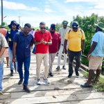
As the Government of Guyana continues in its efforts to improve and increase rice production across the country, farmers in all rice-growing regions will soon benefit from free drone technology and Geographic Information Systems (GIS) services.
On Tuesday, the Ministry of Agriculture through the GRDB hosted a closing ceremony for its Enhancing Precision Farming Practices in Rice Production for Guyana’s Small Farmers Using Drone Technology Programme.
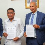
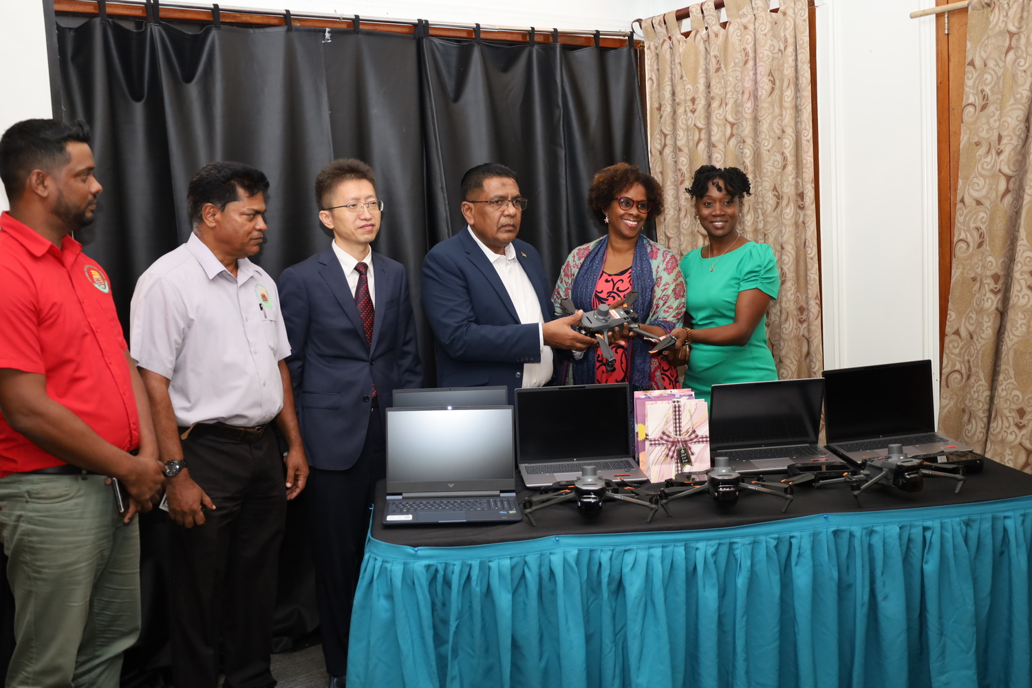
The groundbreaking initiative, which was piloted in Regions Two, Three, and Six, and subsequently introduced in Region Five, seeks to introduce drone technology and GIS mapping to improve rice production and build capacity in the rice industry. It is a collaborative effort between the Government of Guyana, the United Nations Food and Agriculture Organization (FAO), the People’s Republic of China, and the Guyana Rice Development Board (GRDB).
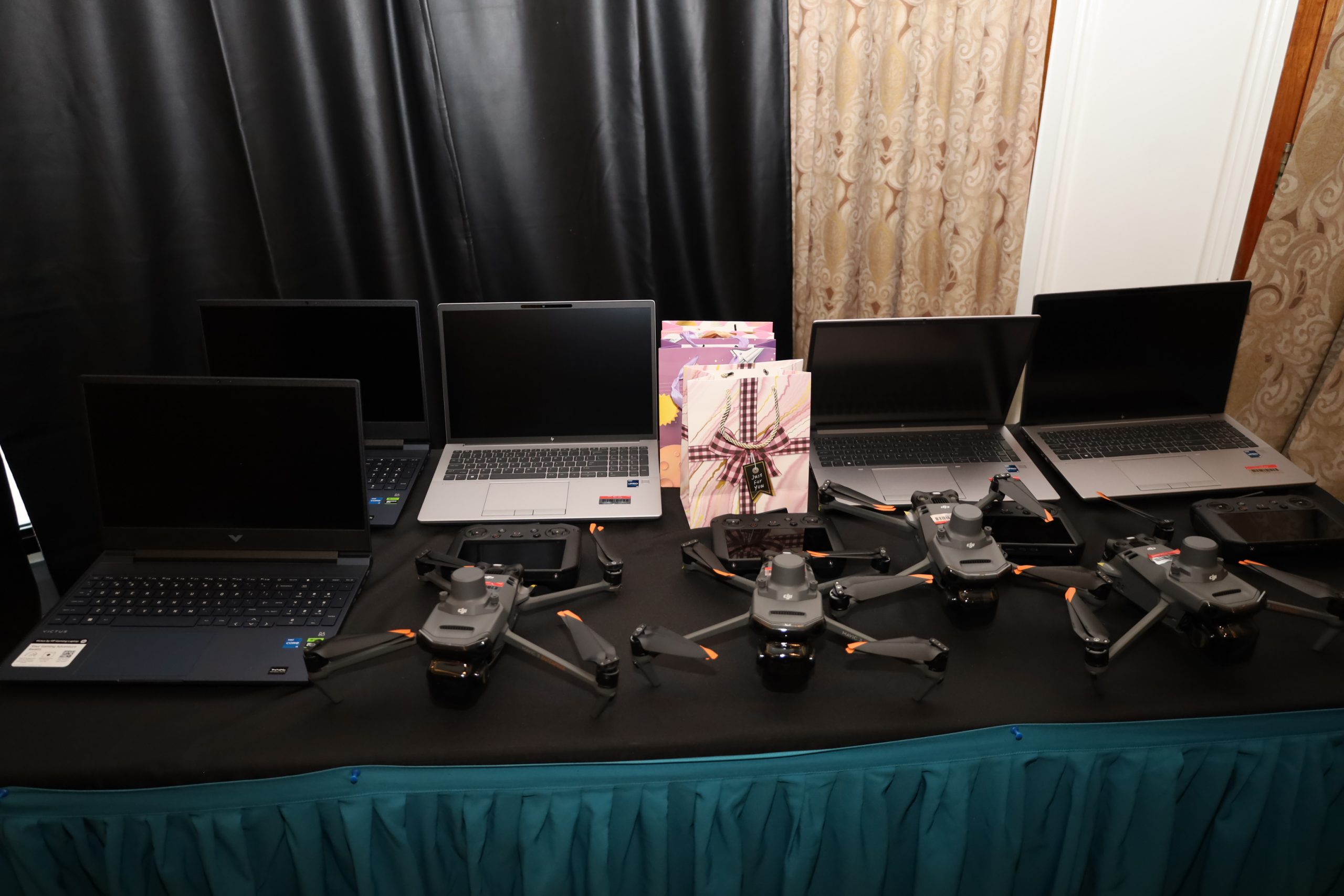
Through financial and technical support under the FAO – China South-South Cooperation project and a Regional E-Agriculture project, some US $165,000 was invested to procure five advanced crop management drones and laptops. Extension and technical officers from the GRDB also benefited from drone pilots and data analysts’ training.
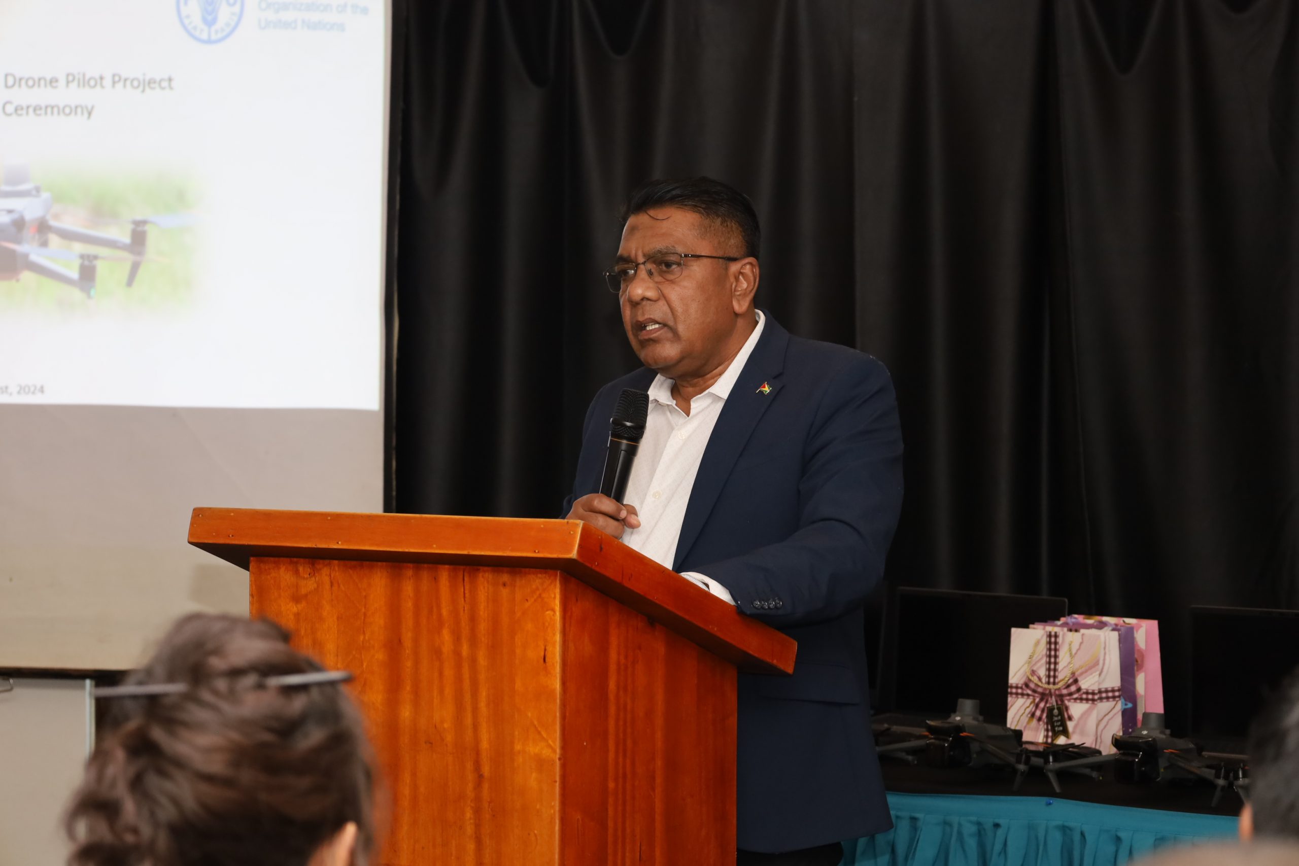
Agriculture Minister Hon. Zulfikar Mustapha, while delivering the feature address, said that the programme is part of the transformative power of technology in revolutionizing Guyana’s rice cultivation sector.
“This project, a collaborative effort between the Government of Guyana, the FAO, China, and the Guyana Rice Development Board (GRDB), is a testament to our unwavering commitment to empowering our farmers and enhancing agricultural productivity. Rice yield has moved from 5.9 tons/ha in 2019 to 6.6 tons/ha in the first crop of 2024. The project’s impact has been far-reaching. We have trained skilled drone pilots and data analysts, who are now at the forefront of agricultural innovation,” he said.
The minister also noted that by introducing drone technology and GIS, farmers will be equipped with invaluable tools to optimize their operations and even further maximize yields. He also said that the services will be made available to farmers free of cost.
Minister Mustapha also said that by 2025, the rice production is projected to be 741,054 MT. adding that as of June 2024, Guyana recorded some 362,030 mt and is on target to produce 710,004 mt by the end of 2024.
FAO’s Country Representative in Guyana, Dr. Gillian Smith noted that there are lots of benefits to be found in using drones and GIS technology.
“This is a project that was implemented for many countries for digital transformation and innovation in agriculture. Because of how quickly this project moved forward in Guyana, we ended up with a project budget of just over 165,000 USD. This project is bringing one form of technology to the rice sector. There are a lot of drones and people can fly drones. The very basic thing that the drone can do is give you an aerial view of what you have. What we’ve found through this experience with GRDB and the farmers is that very quickly, and with some support from technicians from China, far more can be done. As of today, as a sign of commitment to the initiative that you have shown, we’ve been able to hand over four of the most advanced crop monitoring drones available on the market today and three high-spec. laptops that will be used for the processing of data,” Dr. Smith explained.

Chargé d’affaires of the Chinese embassy in Guyana, Rui Huang said that the deployment of drone technology will allow crop yields to increase significantly.
“This project has been a significant milestone by integrating drone technology into rice cultivation and upgrading sustainable farming in Guyana. With the deployment of drone technology, crop yields have increased significantly. This project has showcased the infinite potential of precision farming and has contributed to Guyana’s goal of reducing its food import by 25% by 2025 under the CARICOM Food System Agenda,” Mr. Huang noted.
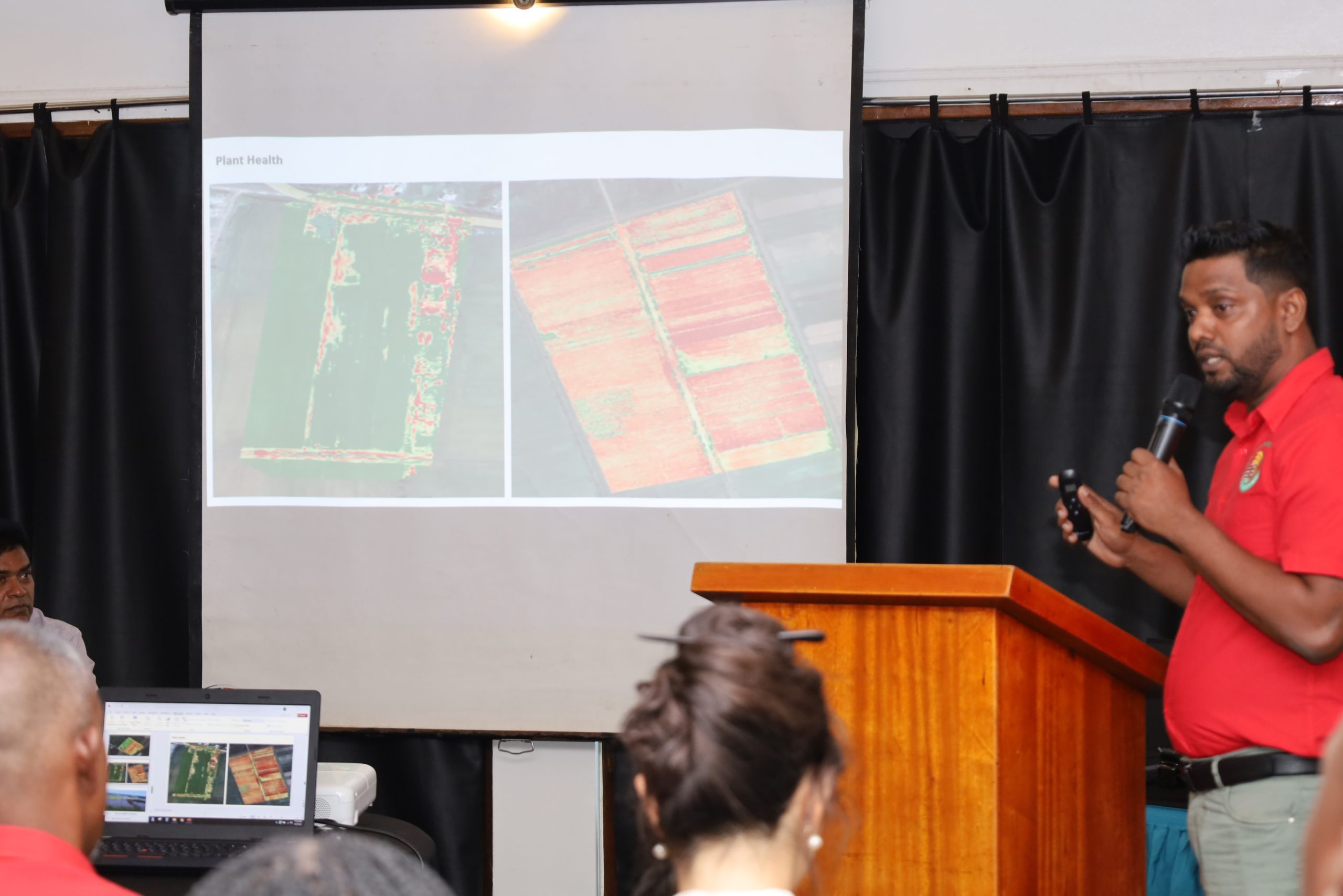
Through the GIS technology, a more proactive approach to rice production will be taken as it allows the GRDB to document, analyze, and share critical data necessary to estimate losses as part of the government’s Flood Risk management efforts. Farmers will also be able to receive data to assist them with good crop husbandry practices such as effective land preparation, and plant health.
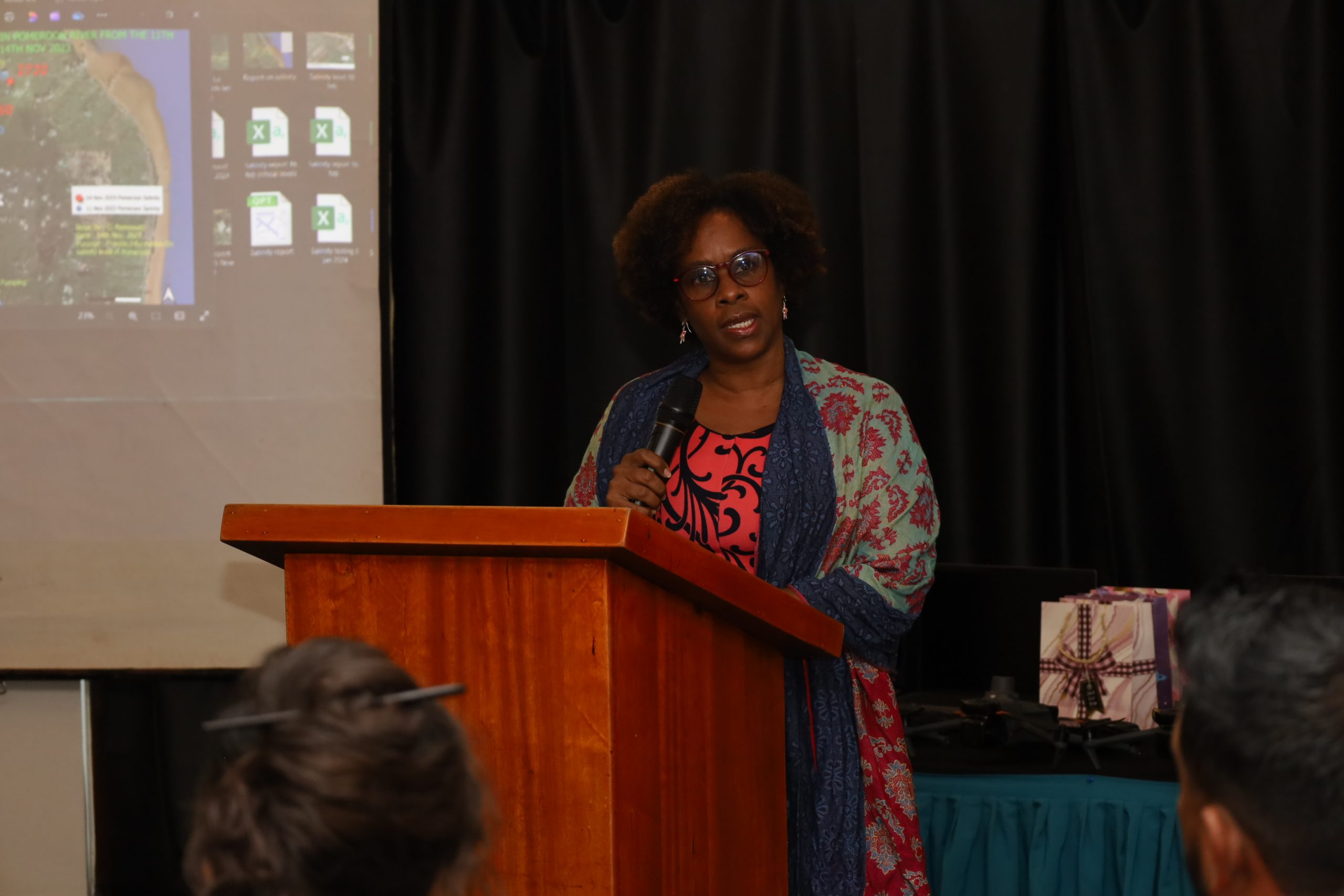
Senior Extension Officer attached to the GRDB, Dahasrat Narin said that the GRDB was able to map all the rice growing areas in the country, identifying the various varieties being cultivated by farmers in various areas, as well as the stage of the crop.
The GRDB utilized its Farmer’s Field School programme to engage farmers and build awareness for the project. With the success of this pilot programme, Guyana is poised to revolutionize rice farming through the power of technology.