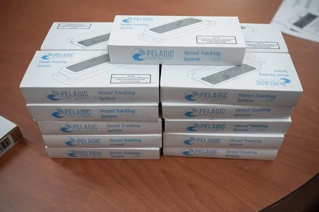
Guyana’s fishing industry is poised for significant transformation with the introduction of artisanal vessel monitoring devices, procured and distributed to over a dozen fisherfolk by the Ministry of Agriculture.
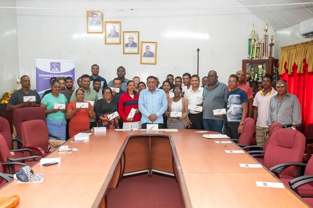
These devices, representing a $15 million investment by the government, will transform fishing practices by enabling the tracking of fishing boats and monitoring of fish populations within the ocean, enhancing safety and efficiency.
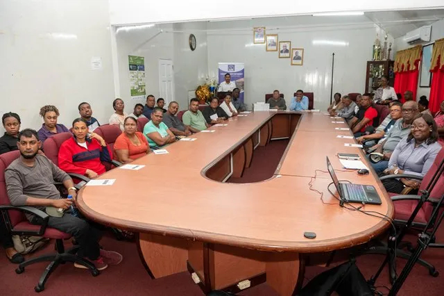
The devices were handed over to fisherfolk on Wednesday during a brief ceremony at the ministry’s boardroom, Regent Street, Georgetown.
Minister of Agriculture, Zulfikar Mustapha emphasised the need for the fishing industry to embrace technological advancements.
“We are not only investing in the physical structure like the wharves and so on, but we will also be putting equipment on your vessels to track you so that we can know where you are fishing and we can monitor you,” the minister stated.
In addition to combating piracy, these devices will enhance the security of fishing activities within Guyana’s borders.
The agriculture minister assured that every vessel in the country will eventually be equipped with the device.
The monitoring tools were procured from Latitude Geospatial Consulting Inc., which is receiving support from Pelagic Data Systems. Both entities are utilising state-of-the-art satellite technology to drive Guyana’s fishing industry.
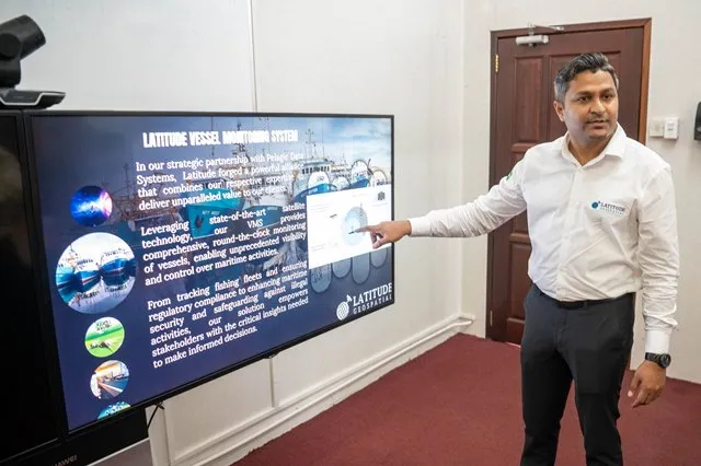
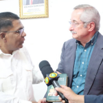
Director of Latitude Geospatial Consulting Inc., Dr Haimwant Persaud explained that the data collected by these devices will enable the fisheries department to make informed decisions tailored to the needs of fisherfolk, leading to smoother operations within the sector.
“As soon as it [the device] gets sunlight it activates and what happens, is that it starts sending a communication to the satellite. From that, the satellite reads into a data processing platform, and you start receiving statistics every ten seconds of the movement of the vessel,” Dr Persaud highlighted.
The data will allow agencies to monitor fishing grounds, track vessel locations, and assess distances from shore.