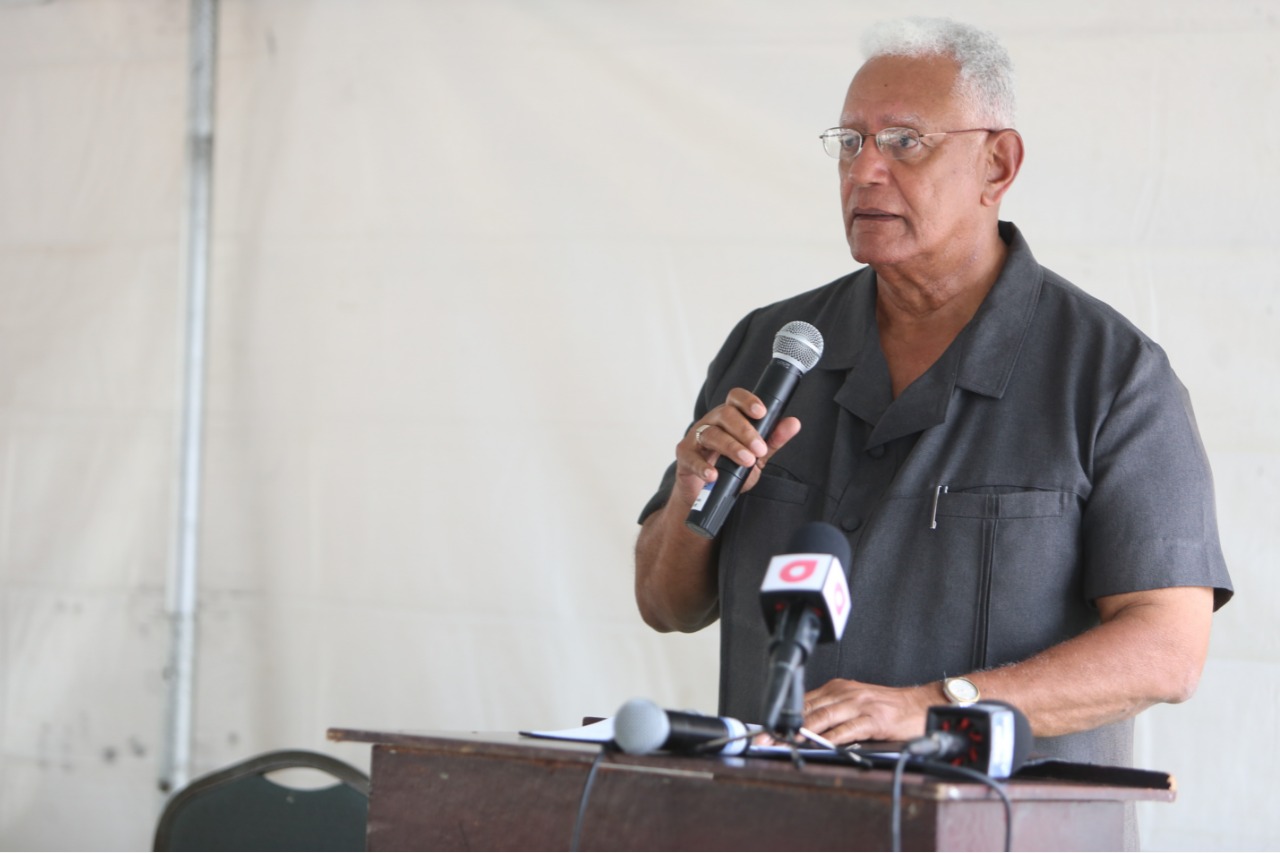
Ladies and Gentlemen, very often in the national conversation on water resources and water resources management Guyana’s Hydrometeorological Service (Hydromet) is hardly mentioned. But as far as the law is concerned, Hydromet is essentially the custodian of all of Guyana’s waters.
The Hydrometeorological Service’s mandate is defined in the Water and Sewerage Act (2002). The ownership of the country’s water is vested in the State and the Hydrometeorological Service has been given the responsibility to manage this resource for the State. Therefore, no person or entity, above a certain threshold, can use, abstract, manage or control the flow of water without being licensed to do so by the Hydrometeorological Service.
While nationally, the Hydromet is viewed as our national weather service, which it is, the first function of the Department, as given in the Water Sewerage Act, is to “establish, manage, and operate national systems, to monitor the availability, quality and use of surface and ground water.” The Department is also mandated to “assess and record the impact of water use on the quantity and quality of surface and groundwater” while providing stakeholders “information on the composition of the ….quantity and quality of surface and ground water…”Further, Hydromet is mandated under the law to “ensure that existing sources of ground water and surface water are conserved and used sustainably.”
Therefore, Ladies and gentlemen, today marks an important milestone for the Hydrometeorological Service with respect to the department fulfilling its mandate with regard to water resources management, but specifically with regard to the monitoring of the quality of the country’s water resources. Today marks the beginning of the thrust towards establishing a national water quality monitoring network and the establishment of a central repository for all information on the quality of the country’s resources.
Currently, there exists no comprehensive database on the quality of the country’s water resources. Some entities may have data with respect to their specific interests, but Hydromet’s role is to serve the national interest and,therefore, there are no limits to the boundaries to which the work of Hydromet should extend in this regard. The Service is mandated to establish systems for the monitoring of all of Guyana’s water resources and, therefore, wherever there is water in Guyana, Hydromet must be able to provide data and information on its current quality, and projections on how this might change, given current and planned development.
In Guyana, the majority of our people, that is, 98.3%, are benefitting from improved drinking water quality. However, only 4.2% of the national water withdrawal is to meet domestic needs and 1.4% is for industrial purposes. The largest use of freshwater in Guyana is for agricultural production, which accounts for 94.1%. of our total water withdrawal. Farms discharge large quantities of agrochemicals, organic matter, drug residues, sediments and saline drainage into water bodies. The resultant water pollution alters the quality of our surface and ground water and poses significant risks to aquatic ecosystems, human health and productive activities.
The 2030 Agenda for Sustainable Development Goal 6 (SDG 6), acknowledges the importance of water quality and includes a specific water quality target, SDG Target 6.3: “By 2030, improve water quality by reducing pollution, eliminating dumping and minimizing release of hazardous chemicals and materials, halving the proportion of untreated wastewater and substantially increasing recycling and safe reuse globally”. The response to water quality degradation includes, research, policies, technologies, and implementing good practices. However, strong data systems are required to understand the issues, its geographical extent, and what plans andprogrammes are required to address these. Once again, this water quality laboratory is being strategically established to fill this critical gap.
If we are to design measures for preventing pollution and mitigating risks, we need to know the state of aquatic ecosystems, and the impacts of such degradation on human health and the environment. Therefore, this laboratory will aid in the management of our water ways via diagnosis and the monitoring of harmful water quality impacts.
As we are all aware, Guyana has three main aquifers: the ‘Upper Sands’, the ‘A Sands’ and the ‘B Sands’. Guyana’s coastal aquifers cover an area of approximately 18,000 km2 with a recharge area of approximately 13,000 km2receiving an annual rainfall recharge of 2,500 mm. The Upper Sands aquifer was first drilled in 1781, but was abandoned in 1913 due to high salinity levels possibly as a result of over abstraction and its connection to the Atlantic Ocean (Mercado, 1997). In 1913, the ‘A Sands’ were drilled and by 1956 there were more than 200 active wells with a yield of approximately 2,600 m3 per day. Today, this aquifer continues to be the main source of groundwater along the coast and in 2013 the yield per day was estimated at almost 350,000 m3. Because of the coastal clays, our aquifers are recharged primarily by rainfall in the recharge area and not through our rivers (the coastal clays restrict the movement of water from the rivers into the aquifers). This, along with the high abstraction rates, has resulted in falling water levels in our coastal aquifers. The US Army Topographic Center (1998) reported that ground water levels were about 4.5 m above ground level (agl) in 1913 when the ‘A Sands’ were first drilled to 14 m below ground level (bgl) in 1993. Today, in Georgetown, it is reported that groundwater levels are now more than 35 m below ground level. The current situation is clearly unsustainable and there has to be a national discussion that leads to policies that allows us to effectively manage our groundwater resources and water resources in general. If we fail to take immediate and concrete actions to address this situation, we will be condemned by future generations.
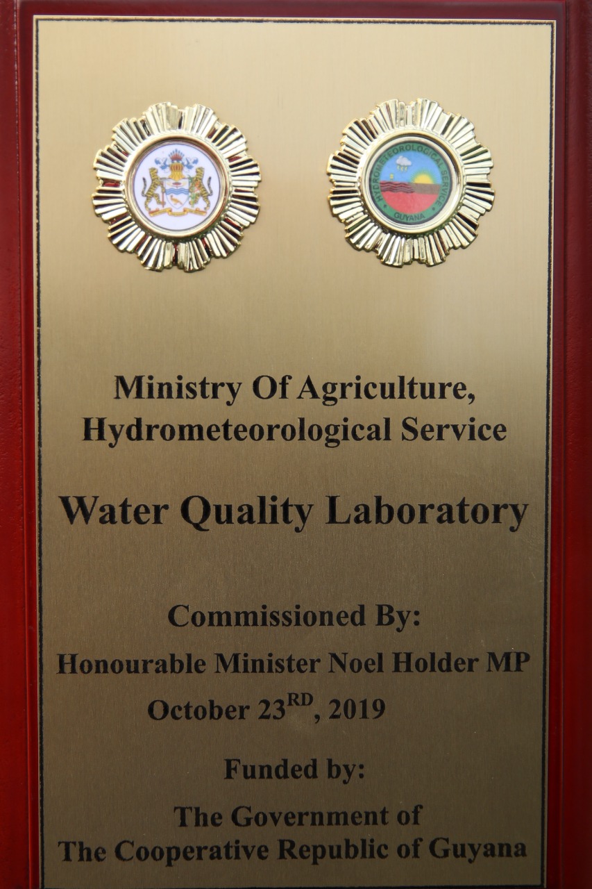
Ladies and gentlemen, the cost of the laboratory is approximately G$ 83 million. The Hydromet Service will be the primary user of the facility for regulatory sampling and analysis for water (surface and ground) and wastewater. However, the lab is open to all to test for water quality. There are several parameters that will be tested at the lab including biological, chemical and physical parameters. In its initial stages, the lab will commence with testing basic parameters such as pH, temperature, salinity, phosphorous, and nitrogen ammonia. Over time these parameters will increase to include the full suite of parameters to represent our national context. The Laboratory will use the World Health Organization’s global standards for ‘Drinking Water Quality’ and ‘Safe Use of Wastewater’ as the basis for determining our water quality. Once commissioned, the Hydromet Service will commence work with local partners and specifically the Guyana National Bureau of Standards (GNBS) towards certification and, thereafter, accreditation. This will ensure that the results and reports coming out of the facility is of the highest standard and integrity, which would be capable of withstanding scrutiny.
In closing, I believe that the establishment of a national water quality laboratory is a key step towards the achievement of several international, regional and national commitments, especially the Sustainable Development Goals, Green State Development Strategy and the Food Safety Policy. I express my gratitude to the CHO and team for their time and expertise in the process to get us here today and urge them to continue to press on in this particular mandate of Hydromet. It is my honour to commission this Water Quality Laboratory here at Brickdam. The Government of Guyana (GoG) through the Ministry of Agriculture remains committed to waterresources management in all its facets, especially for improving human life and wellbeing, by providing access to water of the highest quality for all of the intended purposes and uses.
NLH

